Complete data control for government and industry.
Our accuracy is trusted by government departments, agencies and private businesses to give them the widest possible view and the deepest possible insight.
Contact our teamOur accuracy is trusted by government departments, agencies and private businesses to give them the widest possible view and the deepest possible insight.
Contact our teamOur complete range of GIS, mapping, consultancy and support services assist the public and private sectors, to access the potential of their geographic information for strategic decision making.
Discover more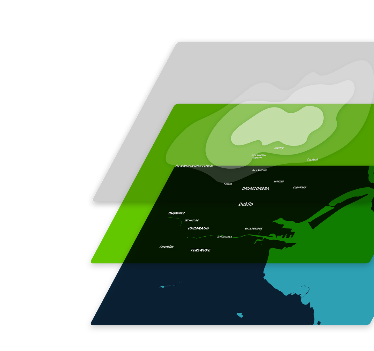
Our teams develop software products and platforms to support critical operations and transform the way modern governments and ambitious companies visualise and analyse data.
Discover more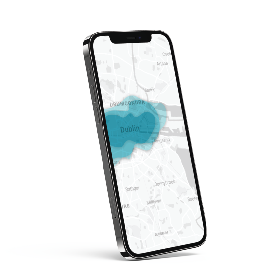
We provide effective solutions in fields such as agricultural monitoring, biodiversity conservation, climate change, natural disaster mapping, and mitigation. Using the latest technology and data we can extract valuable information for use across various environmental monitoring applications, including land, vegetation, urban water and more.
Discover more


We work with a dynamic cross-section of essential sectors. From protecting lives to preserving manuscripts; monitoring the climate to capturing data, what we do has a positive societal impact and makes a difference to the lives of everyone in Ireland.